![[Image: Benchmark]](img/ceaf19991124-08.jpg)
This was an overnight excursion.
It all began on a whim – there being a full moon, I thought it would be nice to do the Spence-Russell loop. I was able to talk my friend Terry into going along. After work, we had dinner at Alex's Havana Cafe in Knoxville and then drove up to Cades Cove Ranger Station to park. It was at least 2100 EST before we got hiking.
We went up Anthony Creek Trail until it intersected the Bote Mountain Trail. There were some broken clouds, but overall visibility was great and the temperatures mild. The final stretch onto Spence Field was more than I remembered, but we braved it out and made it onto Spence Field. It was really windy up top, and cloud cover was increasing dramatically, so that the moon made only brief appearances. It was still quite bright though, and we could see the lights of Maryville-Alcoa and Knoxville twinkling in the distance.
We hiked about a kilometer along Spence Field and then tried to find a leeward spot behind a laurel shrub for shelter. There began a rather chilly evening, as while we napped, we were buffetted by gusts of wind. Despite the dampness, windiness and chilliness, it was still a beautiful evening, and the sounds of the wind were soothing.
Around daybreak, we began the hike over to Thunderhead. About 1.3km eastward past Spence Field is Rocky Top (corn don't grow at all there), which lives up to its name. Another 1km past Rocky Top is Thunderhead Mountain. We made Thunderhead around 0830–0900 EST.
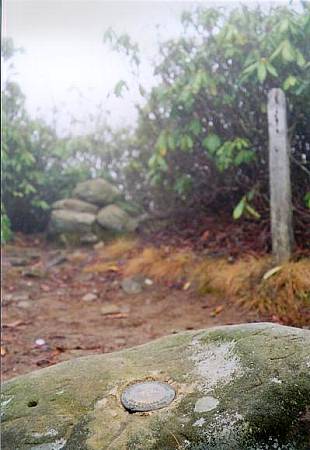
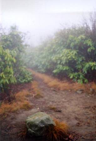
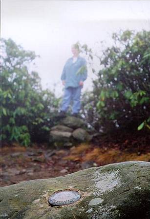
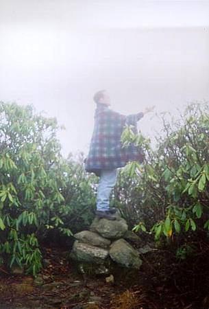
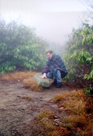
The summit is rather unremarkable. At the summit is a rock, into which is set the benchmark. Across the trail from this rock is an old signpost and a small alcove in the rhododendron shrubs [image]. In this alcove is a small rock cairn, perched upon which visitors may take in the vistas past the foliage. Terry and our celebrity guest tried to see past the cloudy mist/fog on the summit, to no avail [image] [image].
These photos were taken approximately 0830–0900 EST (1330Z–1400Z).