![[Image: Benchmark]](img/ceaf19980915-09.jpg)
This is the third of my “hattrick day”.
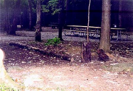
After finishing up in the Tremont area, I drove to the Cades Cove picnic area. Previously, I had thought that this marker might be further back into the woods, but recent experience at other sites had changed that guess. I found the benchmark near the Anthony Creek trailhead at the edge of a picnic area.
Because of its exposed, visible location [image], the marker has suffered unspeakable abuse from the brutish proletariat.
These photos were taken approximately 1900 EDT (2300Z).