![[Image: Benchmark]](img/ceaf19980915-01.jpg)
This was a very successful day – a hattrick of sorts, as I found three benchmarks in the course of three hours.
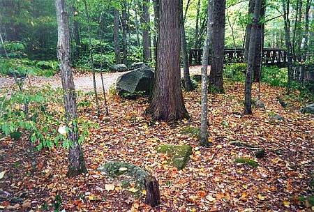
Past the Great Smoky Mountains Institute at Tremont is a gravel road, closed during winter, which after several kilometers leads to a parking circle. This is a popular area because past the parking circle, across a very sturdy bridge, is a gravel trail, of great width and gentle grade, which follows the creek along an old railroad bed. This is called the Middle Prong Trail. People bring horses to ride, and hikers like the paucity of roots and the nonstrenuous nature of the trail.
At the trailhead, right across the bridge, is a benchmark [image]. It is still in excellent condition, a thing of beauty. These photos were taken approximately 1625 EDT (2025Z).